UAV LiDAR

Precision Aerial LiDAR Surveying Services
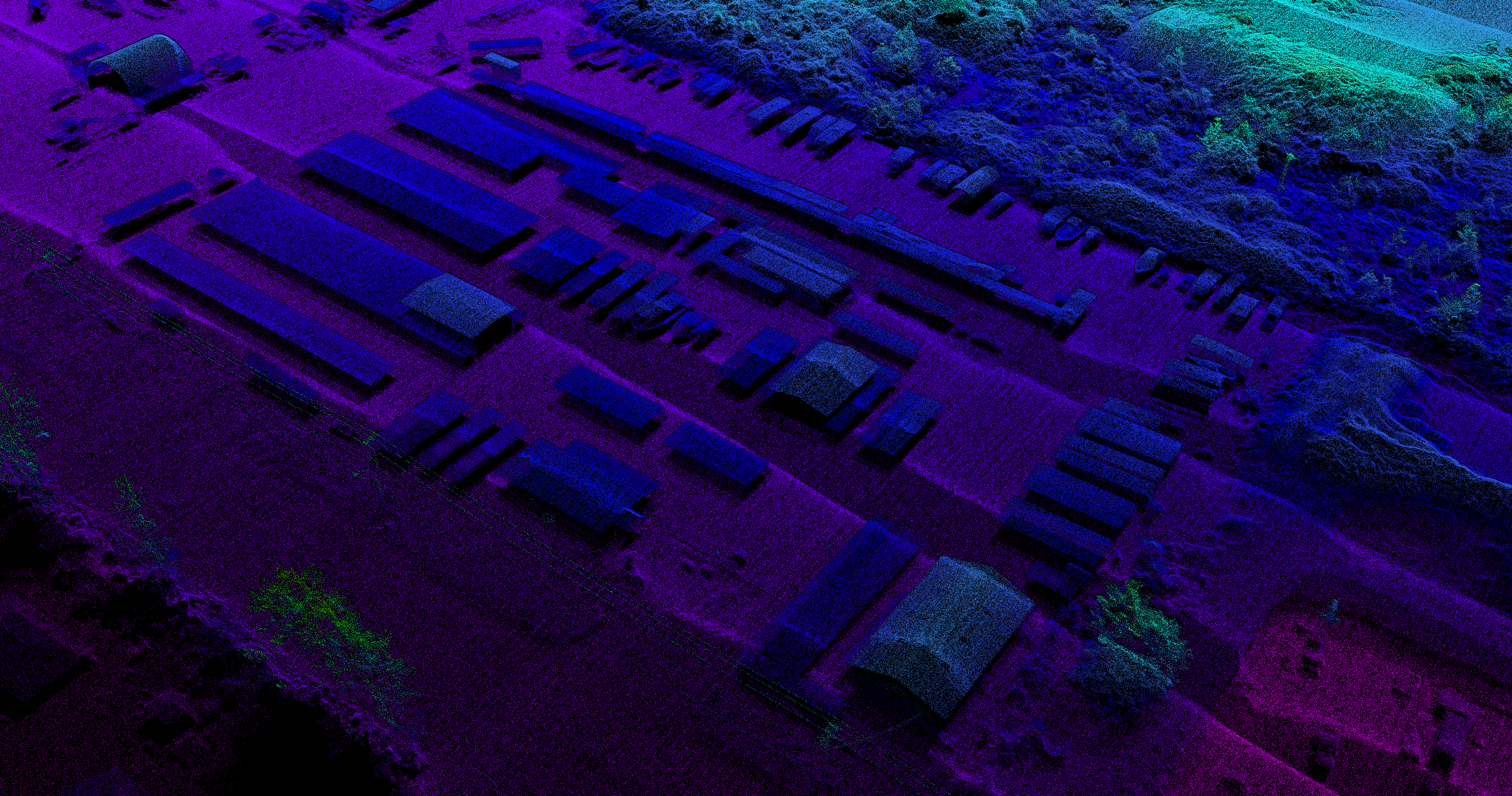
At Bazett Land Surveying, we specialize in providing cutting-edge aerial LiDAR surveying services, leveraging the advanced capabilities of our DJI Matrice 300 UAV combined with the Green Valley Intl X3-H LIDAR payload.
The Matrice 300 UAV – Robust, Reliable, Revolutionary
The Matrice 300 UAV sets a new standard for commercial drone operations. Known for its robust design and exceptional reliability, it is perfectly suited for challenging environments and demanding projects. With an extended flight time and advanced flight control systems, our UAV ensures comprehensive area coverage, capturing every detail of your site with impeccable accuracy.
Green Valley Intl X3-H LIDAR – Precision in Every Pulse
Our use of the Green Valley Intl X3-H LIDAR payload transforms aerial surveying. This state-of-the-art sensor delivers high-density point clouds with astounding accuracy. Whether it's topographical mapping, forestry management, or infrastructure analysis, the X3-H's precise laser scanning technology offers unparalleled data quality, enabling us to capture the intricacies of any terrain or structure.