Bathymetric Surveys
Image
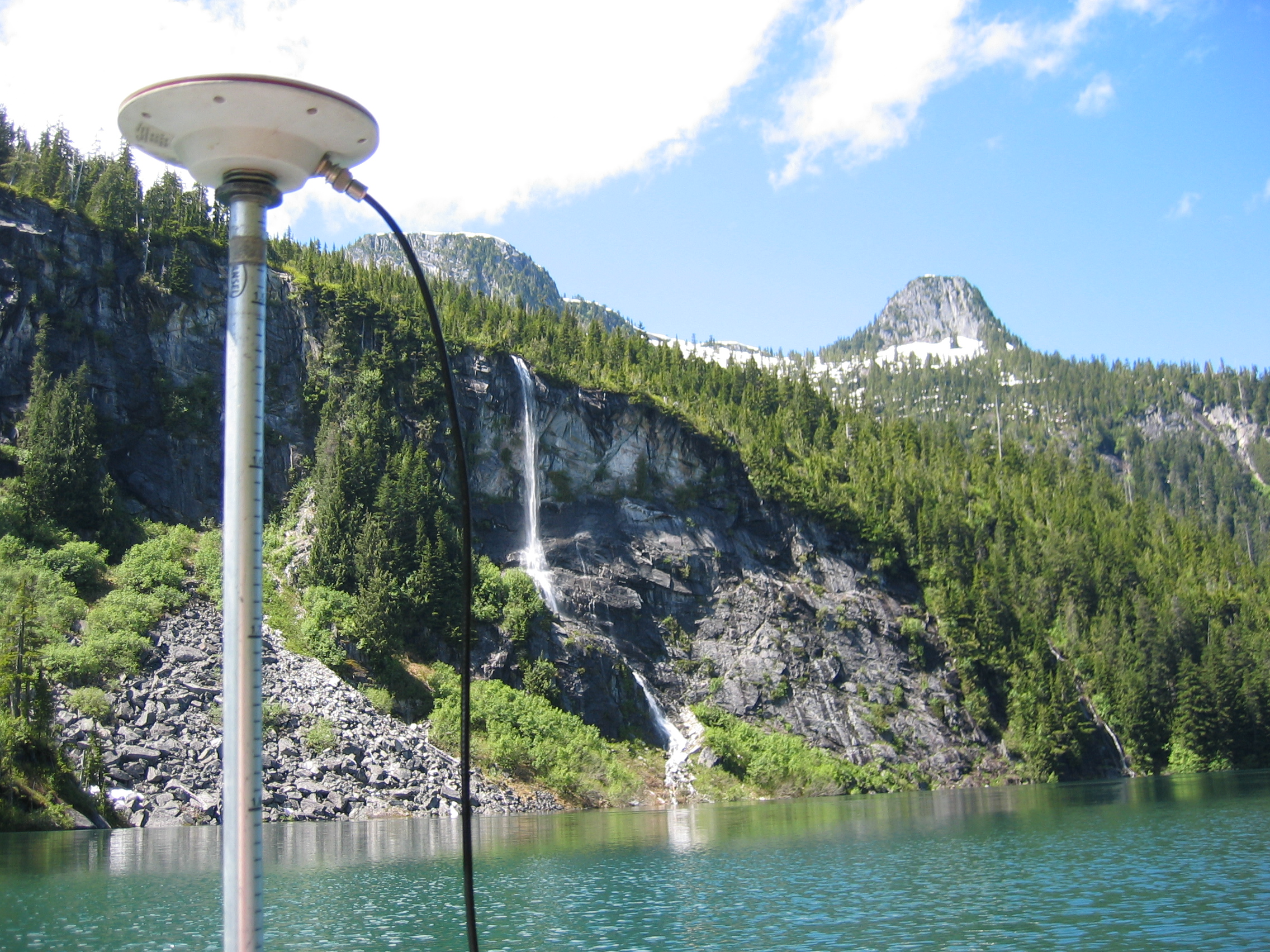
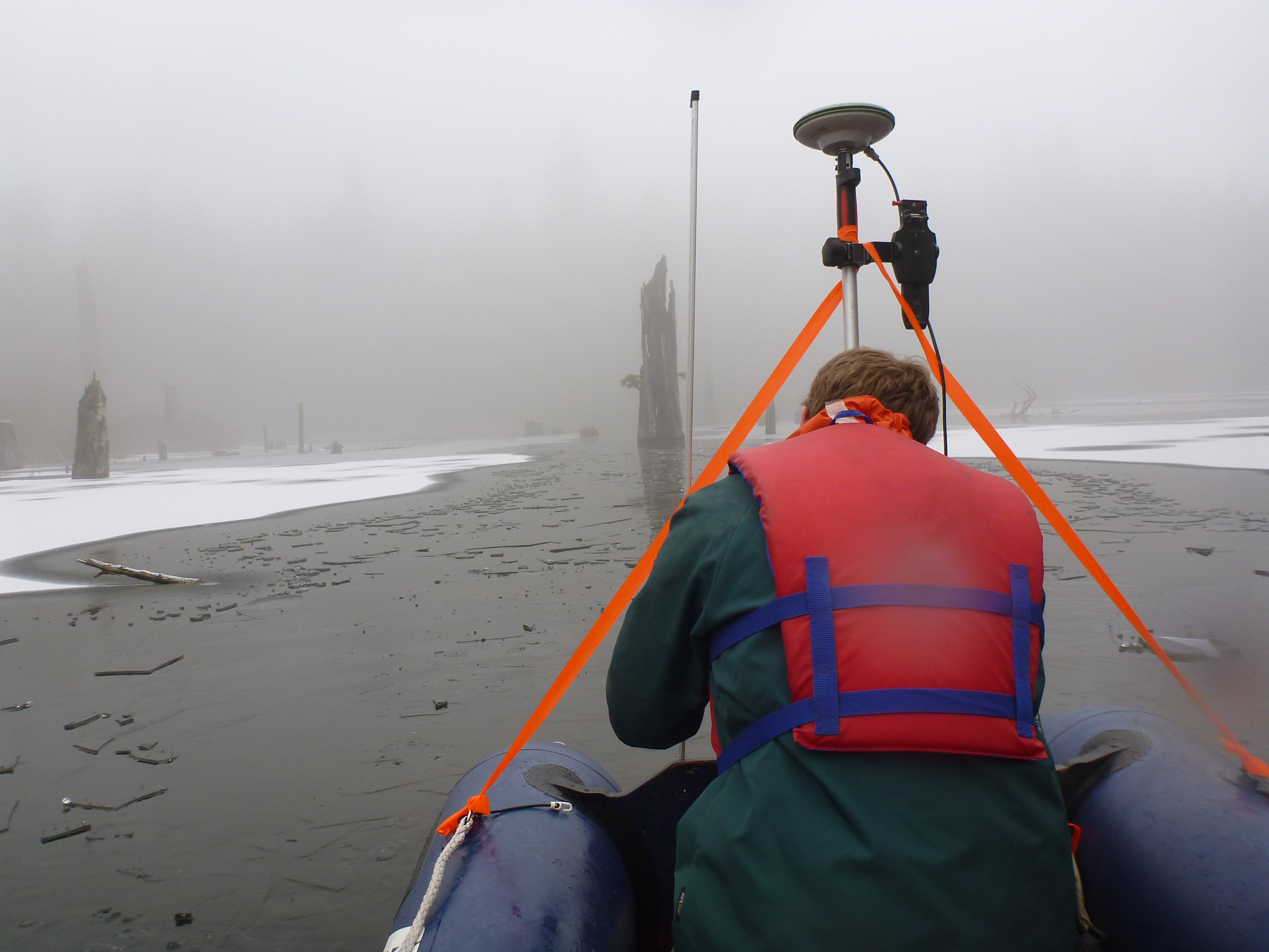
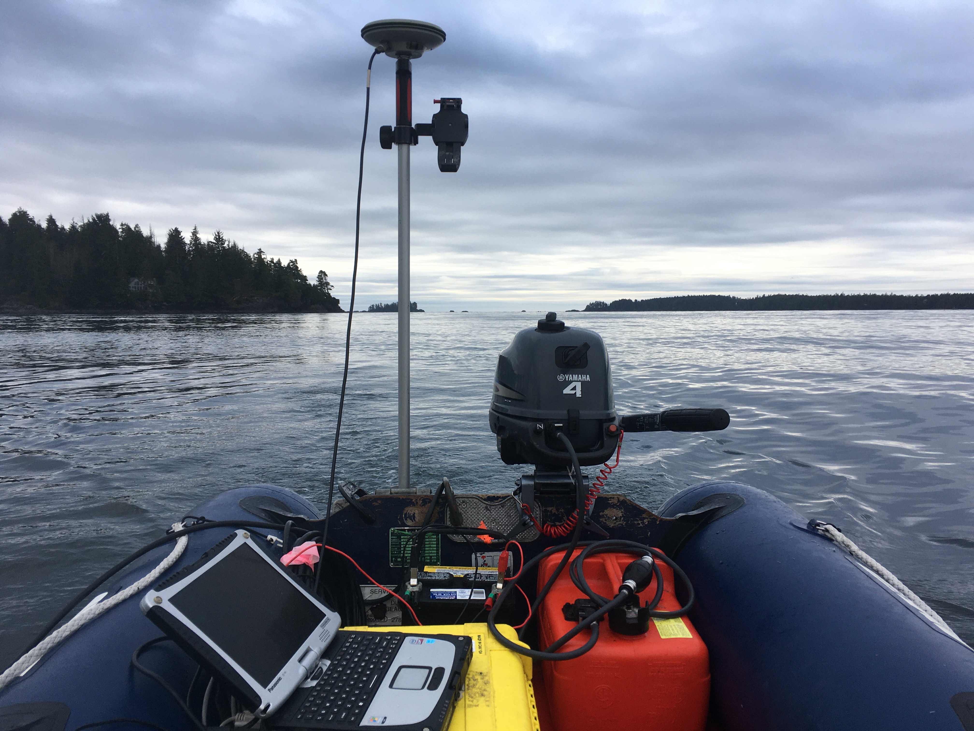
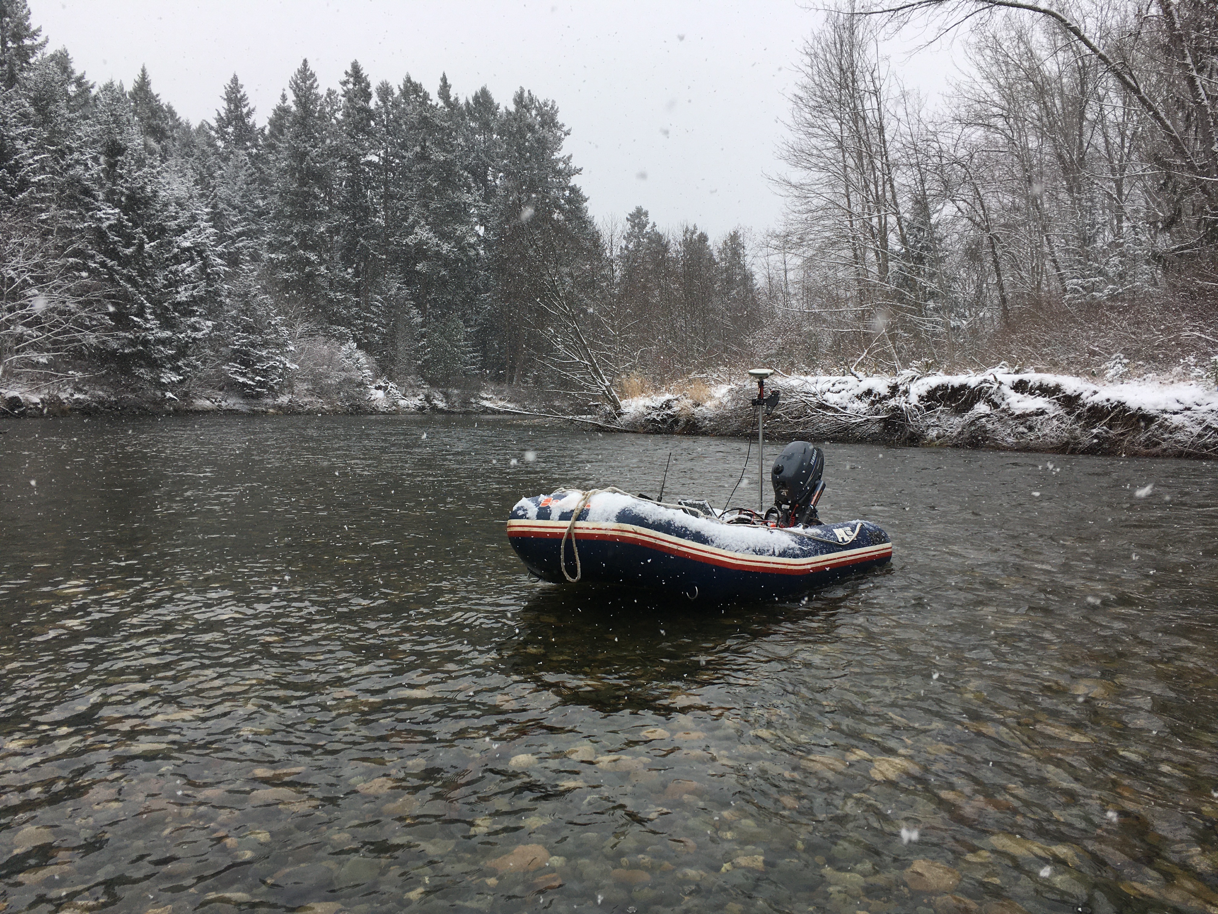
We have a fully integrated system which uses our GNSS equipment for positioning and is linked to a Knudsen Engineering 320 BP digital sounder. This sounder is capable of measuring open ocean depths and has a dual frequency transponder for a wide range of applications. Data is automatically collected and processed in a rugged Pentium laptop.
- Bathymetric surveys of numerous salmon farm sites.
- Bathymetric survey of Stump Lake west of Quesnel for design of water intake.
- Detailed bathymetric survey and site plan of harbour at Port Simpson, BC for marine facility design by engineer.
Image

Image
Image
Image