Image
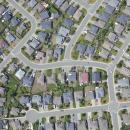
Residential Development
We provide a full range of survey services including topographic mapping, lot design, legal and engineering layout and final plan preparation.
Learn More >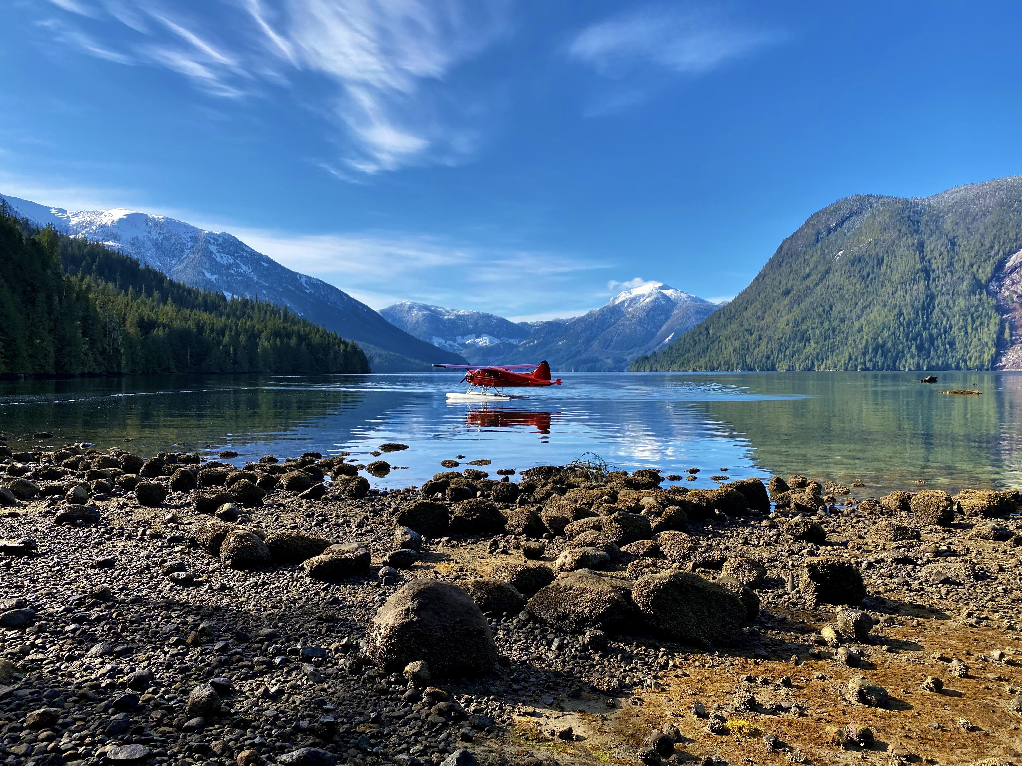
We provide a full range of survey services including topographic mapping, lot design, legal and engineering layout and final plan preparation.
Learn More >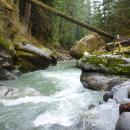
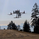
We have worked on a number of small hydro projects as well as right of way and construction surveys for BC Hydro. We have provided survey services and expertise for all facets of these projects
Learn More >
We have worked on many projects for the Federal government and individual Bands throughout BC. Boundary surveys and legal surveys for housing comprise most of the work, as well as topographic site plans for engineering design.
Learn More >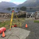
When the Provincial government contracted mapping control surveys in the early 1980's we completed a number of projects throughout BC in support of their 1:5000 scale mapping program.
Learn More >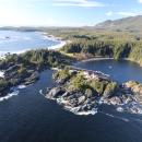
We have extensive experience in re-tracement of very old surveys and have worked in rugged terrain throughout BC. We operate our own Cessna 185 floatplane for access to remote locations and are self-sufficient with camp equipment, inflatable boats, radios
Learn More >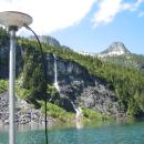
We have a fully integrated system which uses our GPS equipment for positioning and is linked to a Knudsen Engineering 320 BP digital sounder.
Learn More >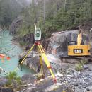
We have specialized equipment for precise angle and distance measurement and have a wide range of experience for various clients.
Learn More >