Boundary Surveys
Image
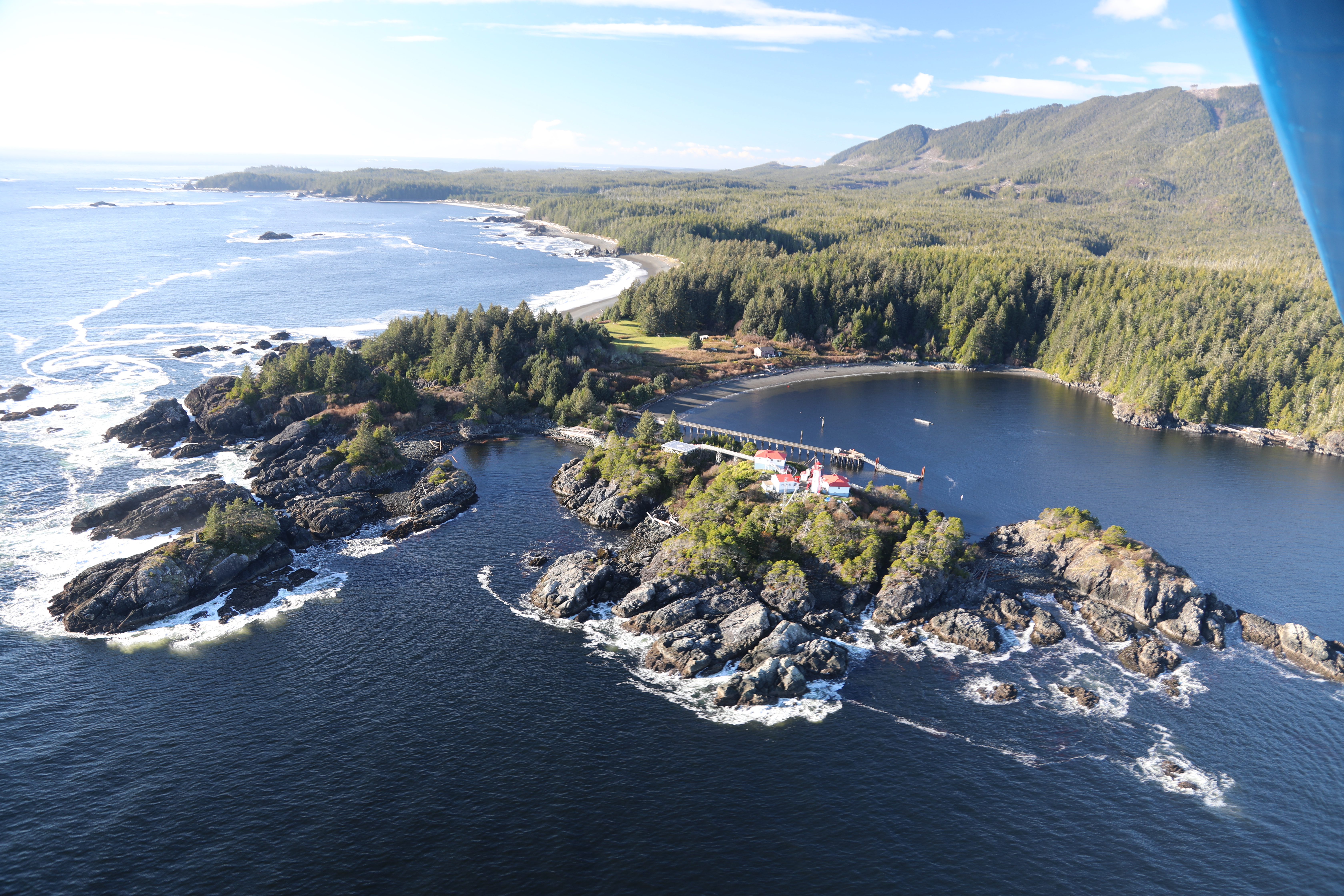
We have extensive experience in re-tracement of very old surveys and have worked in rugged terrain throughout BC. We operate our own aircraft for access to remote locations and are self-sufficient with camp equipment, inflatable boats, radios, etc.
- Legal survey of 3300ha. block near the SE corner of Strathcona park for a land exchange with Weyerhauser Corp.
- Numerous boundary retracement surveys on timbered properties throughout BC including 2000 hectares on Denman Island, 1200 hectares in the Bella Coola Valley and 1800 hectares on the Malahat.
- GPS control and retracement of 20km of TFL boundary on northern Vancouver Island.